
World GIS Day 2017
The Geography, Environment and Development (GED) programme of the Faculty of Arts and Social Sciences (FASS) held a celebration to commemorate the World GIS (Geographic Information System) Day on 15 November 2017. The event took place at the Mitsubishi Hall of the university’s central lecture theatre.
The purpose of the event, according to geography lecturer and event organizer Dr Shafi Noor Islam, was to promote GIS, a system and technology for capturing, storing, using and visualising spatial information that is used in a wide range of applications.
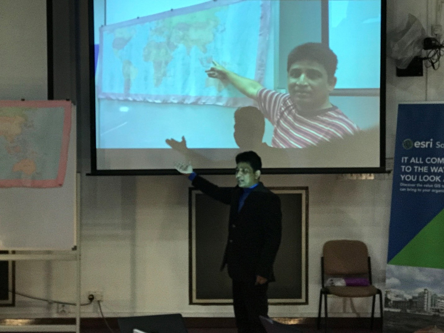
Dr. Shafi Noor Islam introducing the event and explaining the importance of GIS and Remote Sensing application in Geography and Environmental studies.

Dr. Shafi Noor Islam displaying the functions and use of Remote Sensing and GIS applications.
The event was launched by the Programme Leader of GED, Dr Shirley Chin. This was followed by an introduction to GIS and remote sensing by Dr Shafi, who also shared the various activities and training students of GIS-related courses at UBD are exposed to. The skills that they gain through their studies, he said, make them highly marketable in today’s hyperconnected world. Also in attendance at the event were the Deputy Deans of FASS, Dr Mazidah Mohamad and Dr Sharifah Nurulhuda Alkaff.
The event also featured talks by representatives of GIS-related companies. Nazri Razak from the South Asia branch of global GIS company ESRI gave a talk on the applications and benefits of GIS, while Adnin from Soartech Systems Sdn Bhd briefed attendees of the event about global positioning systems that are in use locally.
In addition, the event showcased the work of UBD's FASS students majoring in GED (Module AV-3301 Introduction to Remote Sensing and Module AV-4302 Wetland Ecology and Development) who have conducted projects studying environmental issues using GIS software.

Khairunnisa presenting group work on mangrove changes in Singapore using GIS.

Best group presenters Nabiha and Alita receiving the award from Dr. Shirley (PL of Geographical and Environmental Studies) and Dr. Shafi Noor Islam.

All presenters and winners at the GIS Day 2017.